“Wind and weather” menu: measured wind, forecasts, radar and currents
User guide · updated 19.10.2026
The wind blowing now, the wind on its way, rain and thunderstorms, and what the water is doing.
What this menu is for
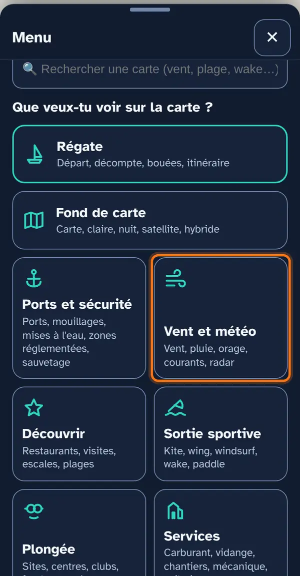
A submenu, Station readings — the wind measured at the lakeside —, then the map layers listed directly, with no submenu: forecast wind (arrows, animation), rain and its probability, thunderstorm risk, named winds, currents and water temperature, fog, the MeteoSwiss radar and, at the bottom of the list, the webcams.
Waves and shelter are in Lake info and Sports outing.
How to use it
Open the menu
Tap Menu, bottom right, then the menu's tile. At the top: 📖 User guide for this menu (this page) and ↺ Reset maps, which switches everything off at once.
At the top, the Station readings submenu: the wind measured by the nearest station, every 10 minutes; strong-wind warning at 25 knots, storm warning at 33 knots. Below, the map layers listed directly, then the animation intensity, “Refresh sky” and the Info panel (including the storm cell alert).
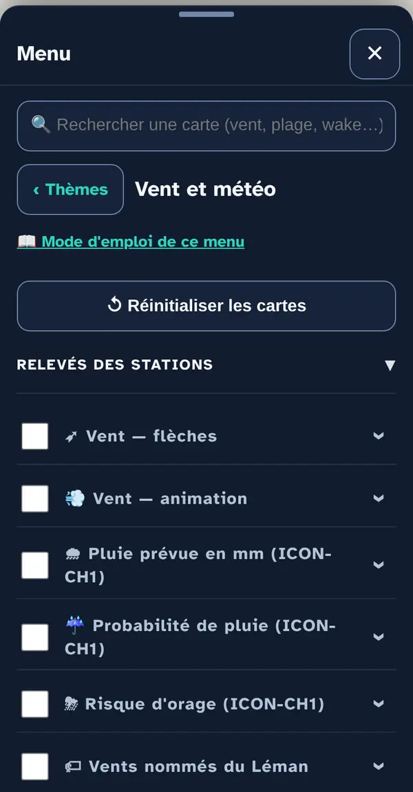
Turn on a map layer
Tick a map layer's box to lay it over the base map; untick it to remove it. The arrow at the right of the row opens its info note: what the layer shows, its colour key, its source and what it doesn't tell you. An OFFLINE label marks a layer built into the app, which works without signal.
Why checkboxes? So that only what's useful right now goes on the map: ten layers switched on together become unreadable.
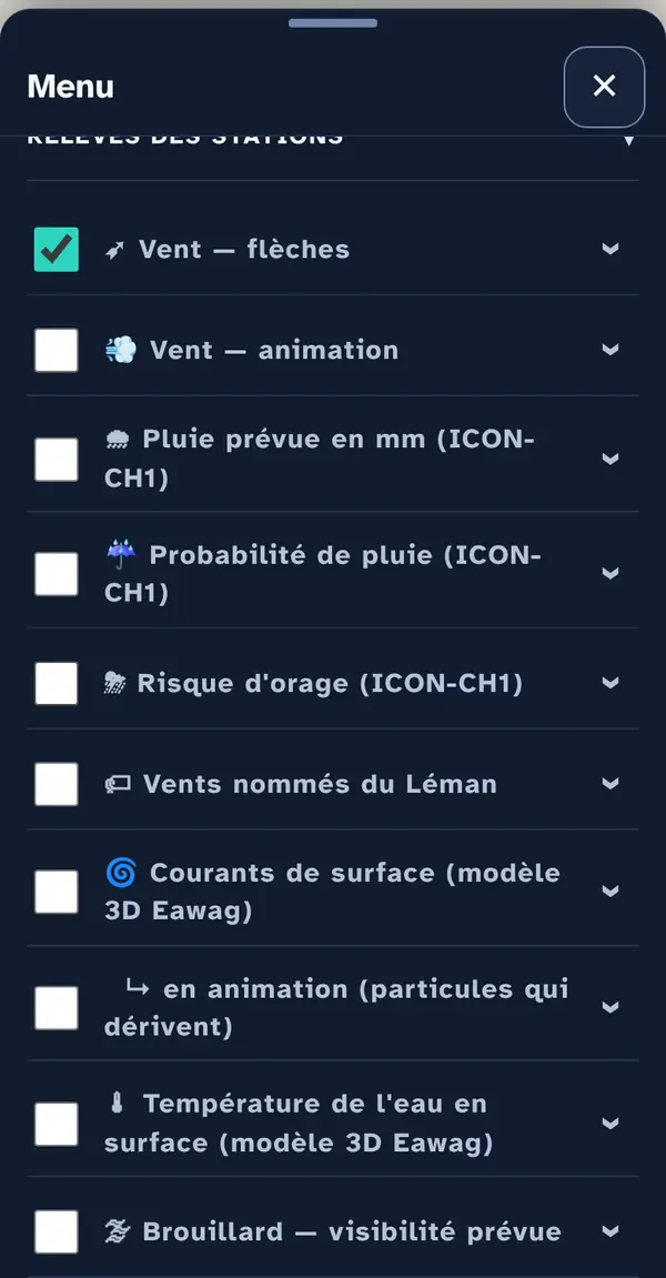
Reading the map
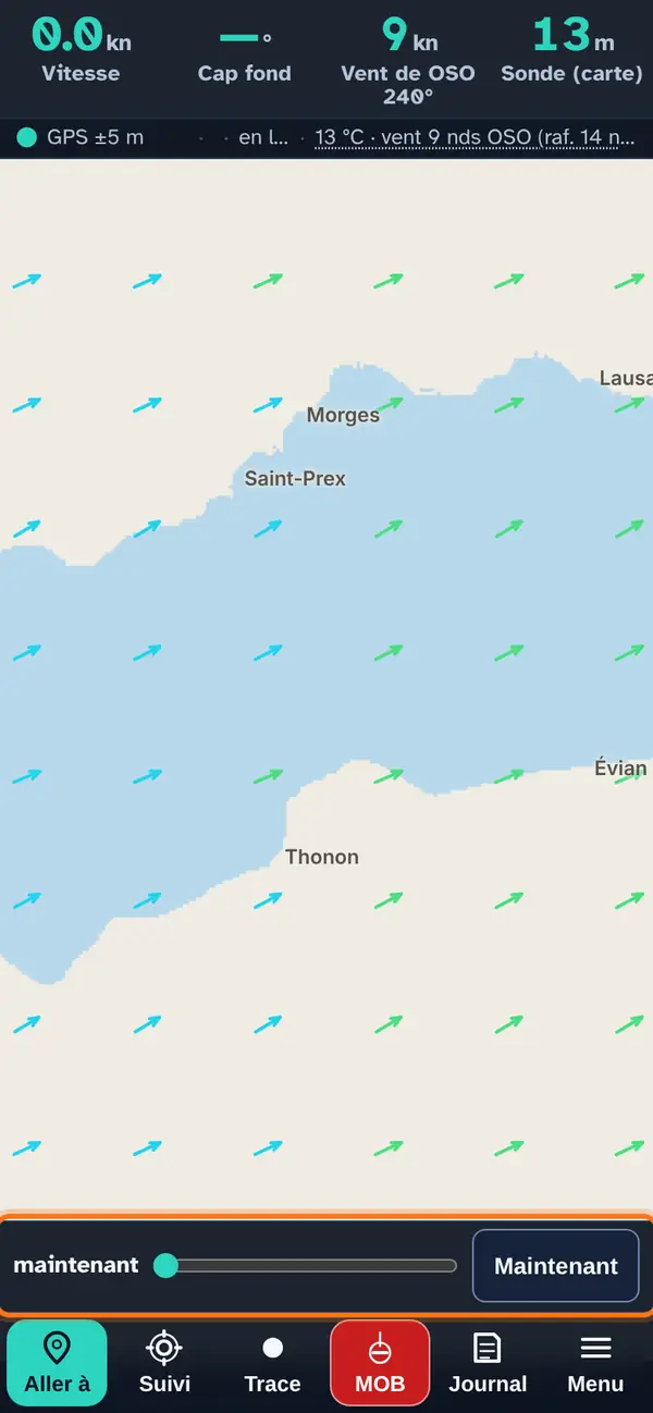
“Wind — arrows”: each arrow shows where the wind is going, and its length and colour show its strength. Here, a sample west-south-westerly wind over the Grand-Lac.
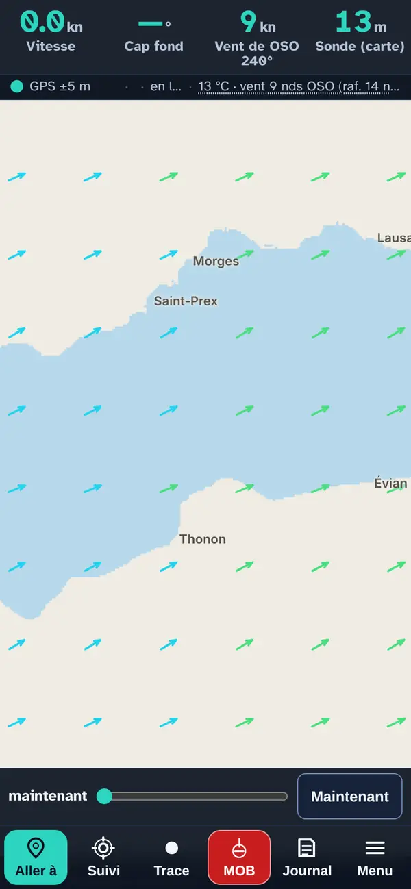
Tap a point: the pop-up
As soon as a forecast map is switched on, the time slider appears at the bottom of the screen. Drag the slider: wind, rain, thunderstorms, waves, currents and temperature are recalculated for the chosen time, up to 24 hours ahead. Now returns to the current time.
Why drag it to your return time? On Lake Geneva the wind often changes in the afternoon: look at the map for the time you head back, not the time you set off.
The radar has its own ◀ ▶ player: the last observed hour, then the coming hour, computed by extending the movement of the rain (the time of forecast images is shown in orange).
How the data is cross-checked
The Sky maps come from the MeteoSwiss ICON-CH1 model (one-kilometre grid), served by Open-Meteo for a grid of points around the lake and interpolated between them: wind, gusts, rain, rain probability, thunderstorm risk (convective energy and inhibition). Fog comes from Open-Meteo's default model. The radar is the MeteoSwiss composite (1 km, every 5 minutes); its one-hour forecast is an extrapolation computed by the app, not a MeteoSwiss forecast. Currents and water temperature come from the Eawag 3D model, in three-hour slots. Named winds (bise, joran, vaudaire…) are inferred from the direction, strength, lake sector and time of day, based on the SISL description, then confirmed by measured gusts when a station provides them.
The readings also include LéXPLORE, a research station on the lake off Pully, and three club wind beacons of the OpenWindMap network, at Versoix, near Saint-Prex and at Morges: the wind at water level. These four measurements trigger neither wind warnings nor named winds.
Station readings
Actual readings from the MeteoSwiss SwissMetNet network, every 10 minutes: the nearest station, or the one you choose. Strong-wind warning at 25 knots, storm warning at 33 knots, by lake sector. “Open full panel” shows all stations. The orange light ashore is what counts.
What this menu tells you, and what it doesn't
What it tells you. Wind measured every 10 minutes, forecasts from MeteoSwiss's ICON-CH1 model, the radar, and currents and temperature modelled by Eawag.
What it doesn't tell you. A forecast is not a measurement: gusts, storms and wind shifts can come earlier, later or elsewhere. The radar forecast extends the movement of the rain: it cannot see a shower forming on the spot.
Navleman is a navigation aid, not an official nautical document: the official chart, the storm warning lights and the authorities' instructions always take precedence.