“Base map” menu: choosing the base map
User guide · updated 19.10.2026
The background everything else sits on. Five choices, one tap.
What this menu is for
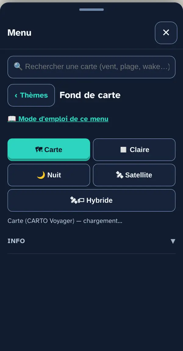
Choose the map's background image. Layers from the other menus sit on top, whatever the base map.
How to use it
- Map: the default base map, in colour.
- Light: muted colours — the right choice when several layers are switched on at once.
- Night: dark background, so you're not dazzled at dusk.
- Satellite: swisstopo's orthophoto on the Swiss side, IGN's on the French side; it's also the only base map you can save for navigating without signal (Settings and data › Offline maps).
- Hybrid: the same satellite image, overlaid with the names and roads from the CARTO Voyager map — towns, villages, streets, harbours. Offline, names only remain where you've viewed the map online within the last 29 days (CARTO allows no longer); “Offline maps” only saves the image.
On phones and tablets, the Satellite base map loads images from the next zoom level up to stay sharp on these high-resolution screens: about four times as many images, so more mobile data. Offline, it falls back on the saved images, which are slightly less sharp.
What this menu tells you, and what it doesn't
What it tells you. The shoreline, streets and places (Map, Light, Night) or the view from above (Satellite), with names on top (Hybrid).
What it doesn't tell you. None of these base maps is a nautical chart: no buoyage, no soundings. The satellite image may be a few years old.
Navleman is a navigation aid, not an official nautical document: the official chart, the storm warning lights and the authorities' instructions always take precedence.