“Settings and data” menu: display, offline, tracks and backup
User guide · updated 19.10.2026
Adjust the screen, prepare for navigating without signal, manage your tracks, places and data.
What this menu is for
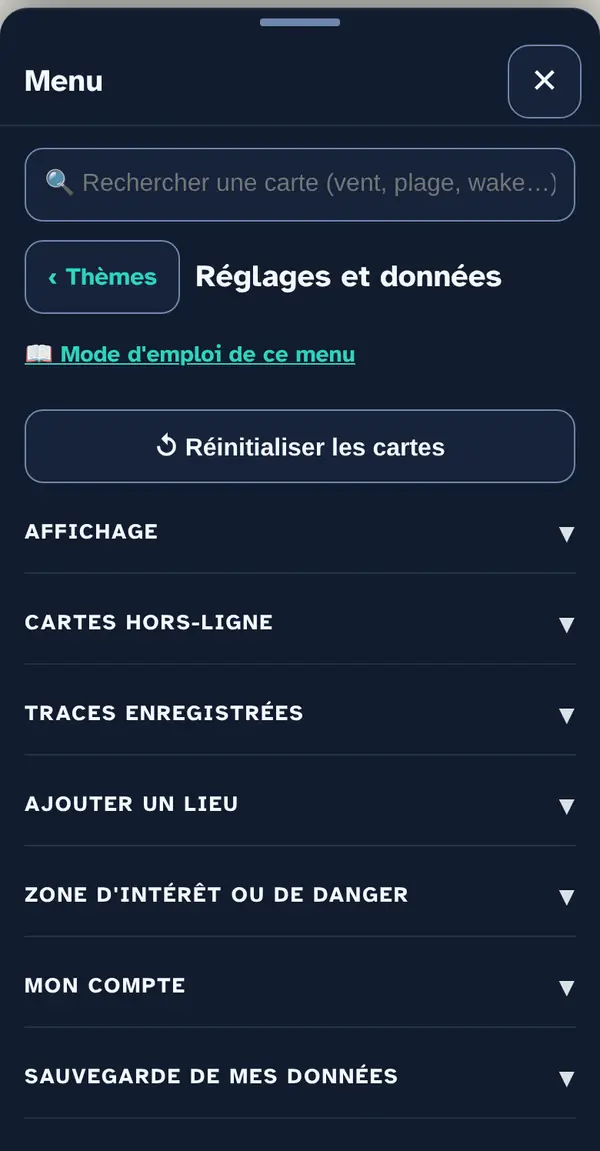
Everything that's yours in the app — tracks, places, zones, backup — and how it's displayed.
How to use it
Display
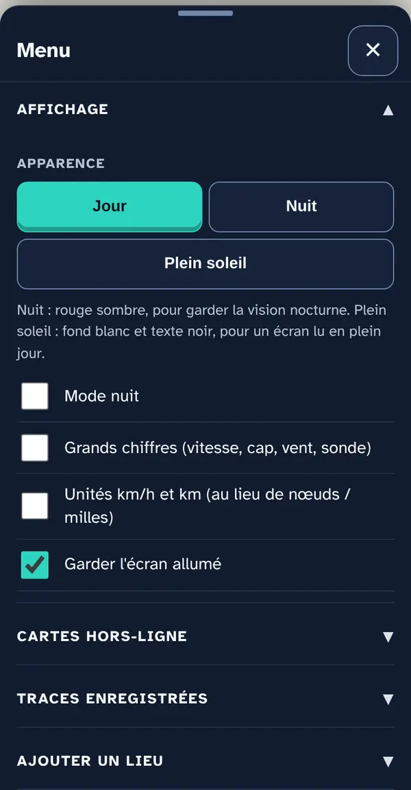
Day, Night (dark red, to preserve your night vision) or Bright sun (white background, black text, for a screen read in full daylight). “Large numbers” enlarges speed, heading, wind and depth; “km/h and km units” replaces knots and miles; “Keep screen on” prevents sleep mode.
Offline maps
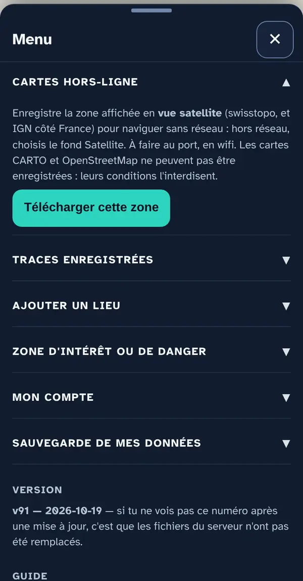
“Download this area” saves the area on screen in Satellite view (swisstopo, and IGN on the French side) for navigating without signal: when offline, choose the Satellite base map. Do it in the harbour, on wifi. The CARTO and OpenStreetMap base maps can't be saved: their terms forbid it.
Recorded tracks
The Track button, at the bottom of the screen, starts and stops recording. Each track is listed here with its distance, duration and number of points; “GPX” exports it (readable by most navigation software), “✕” deletes it. The last 40 are kept on the phone.
Add a place
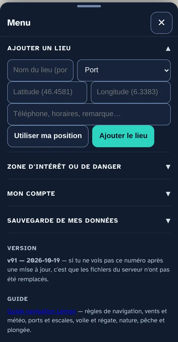
A harbour, anchorage, bar, beach, point of interest or hazard of your own, at your position or at the chosen point. It appears on the map; a harbour or beach of your own is also offered as a destination in “Where to?”.
Area of interest or danger
A circle (danger, interest or protected area) with a radius you choose, here (GPS) or at the centre of the map. “Approach alert” makes the app sound when you get close, once “Let's go” has been started.
My data backup
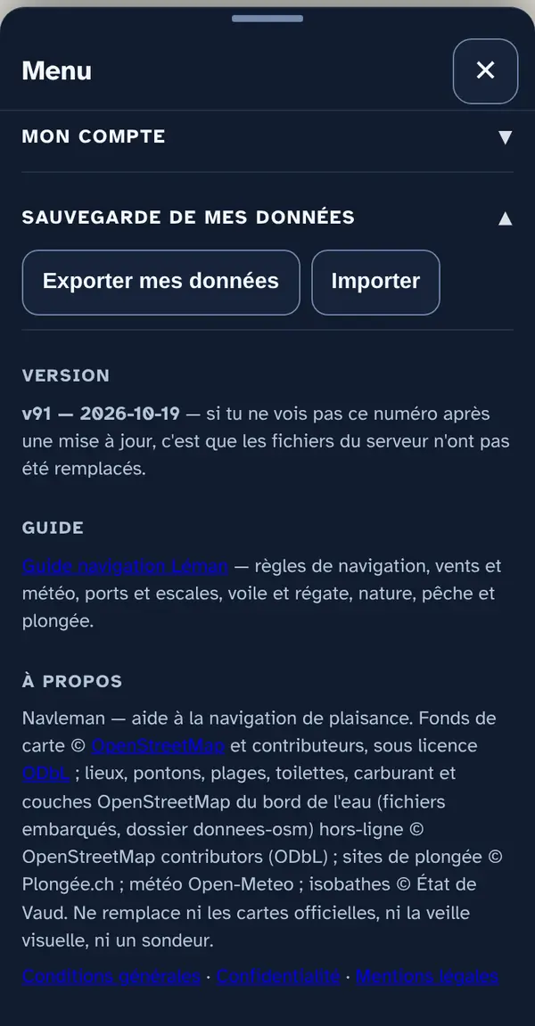
“Export my data” saves a file with your logbook, tracks, places, zones, routes, settings and destination. “Import” loads it back (on this phone or another) and restarts the app.
What this menu tells you, and what it doesn't
What it tells you. What you've saved, and how the app is displayed.
What it doesn't tell you. The data stays on the phone: clearing the site's data in the browser deletes it too. Export regularly.
Navleman is a navigation aid, not an official nautical document: the official chart, the storm warning lights and the authorities' instructions always take precedence.