“Lake birds” menu: waterbird reserves
User guide · updated 19.10.2026
Lake Geneva's waterbird reserves, what is restricted there, and where to give them a wide berth.
What this menu is for
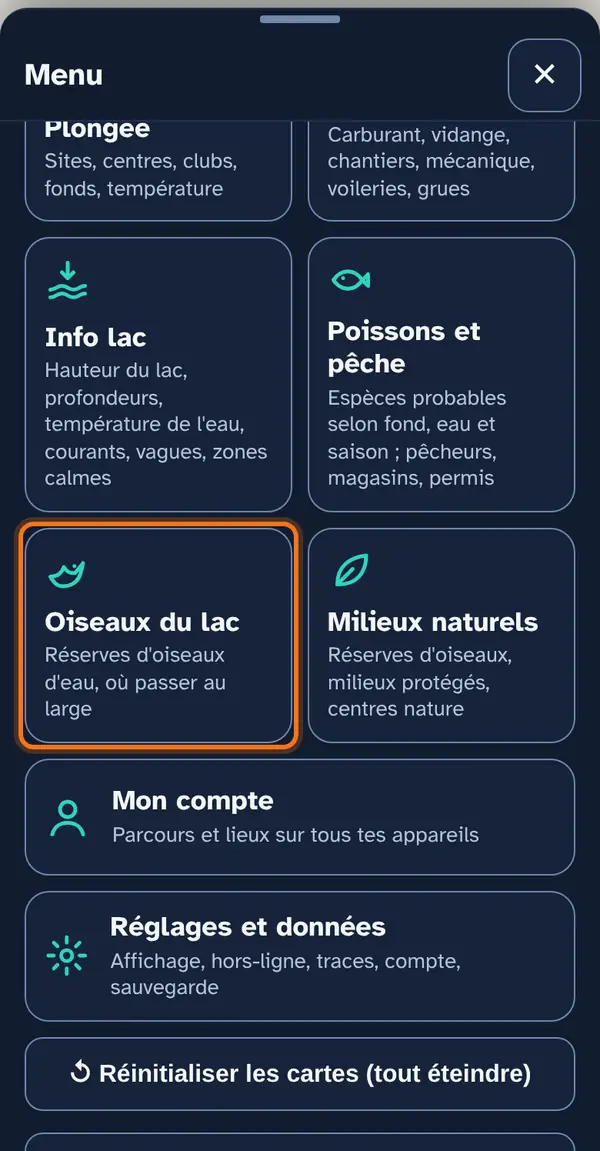
The federal reserves for waterbirds and migratory birds (OROEM). The map loads online: it needs a connection.
How to use it
Open the menu
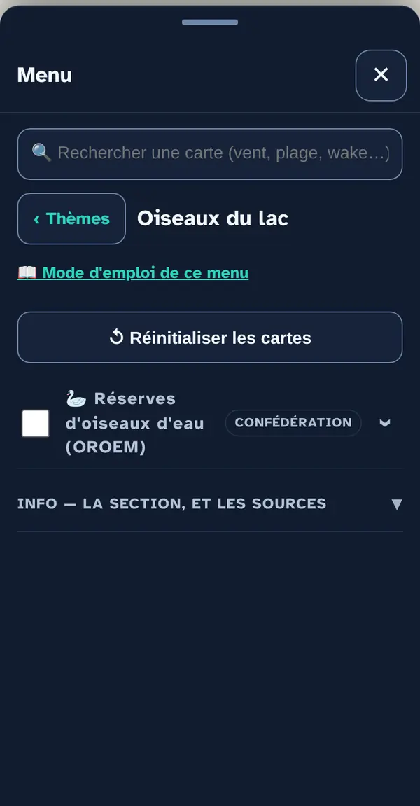
Tap Menu, bottom right, then the menu's tile. At the top: 📖 User guide for this menu (this page) and ↺ Reset maps, which switches everything off at once.
Tick a map layer's box to lay it over the base map; untick it to remove it. The arrow at the right of the row opens its info note: what the layer shows, its colour key, its source and what it doesn't tell you. An OFFLINE label marks a layer built into the app, which works without signal.
Tap a reserve: what is restricted there (depending on the reserve, hunting only, or navigation too), and in which season.
How the data is cross-checked
The reserves come from the federal inventory of reserves for waterbirds and migratory birds (OROEM), served by the Swiss Confederation. The boundary shown is reliable for locating the reserve, not for a dispute: the text of the ordinance remains the reference.
What this menu tells you, and what it doesn't
What it tells you. The boundaries of the federal reserves and their restrictions.
What it doesn't tell you. No sighting mainly means nobody has reported their outing.
Navleman is a navigation aid, not an official nautical document: the official chart, the storm warning lights and the authorities' instructions always take precedence.