“Natural habitats” menu: reserves and fragile shoreline habitats
User guide · updated 19.10.2026
The fragile habitats along the lakeshore: you skirt them, you don't cross them.
What this menu is for
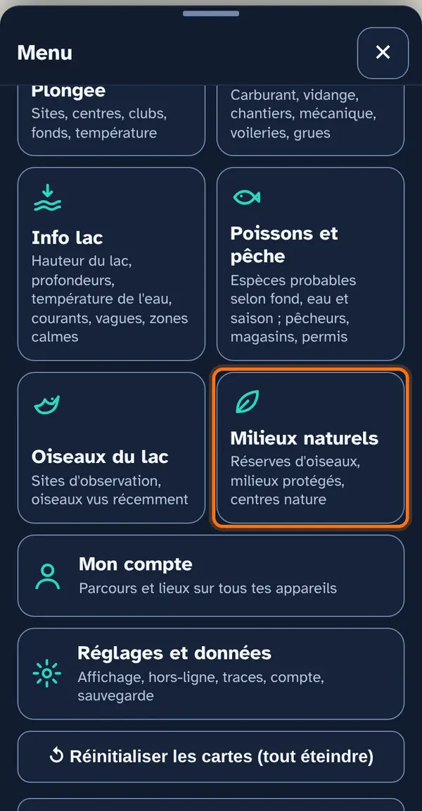
The reserves and natural habitats around the lake, ordered from most to least sensitive. Turn them on before anchoring or approaching a shore: an aquatic plant bed holds the anchor poorly and shelters spawn, and a reed bed is not approached under engine.
How to use it
Open the menu
Tap Menu, bottom right, then the menu's tile. At the top: 📖 User guide for this menu (this page) and ↺ Reset maps, which switches everything off at once.
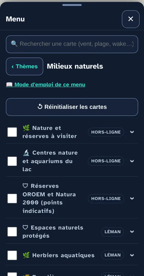
Turn on a map layer
Tick a map layer's box to lay it over the base map; untick it to remove it. The arrow at the right of the row opens its info note: what the layer shows, its colour key, its source and what it doesn't tell you. An OFFLINE label marks a layer built into the app, which works without signal.
Why checkboxes? So that only what's useful right now goes on the map: ten layers switched on together become unreadable.
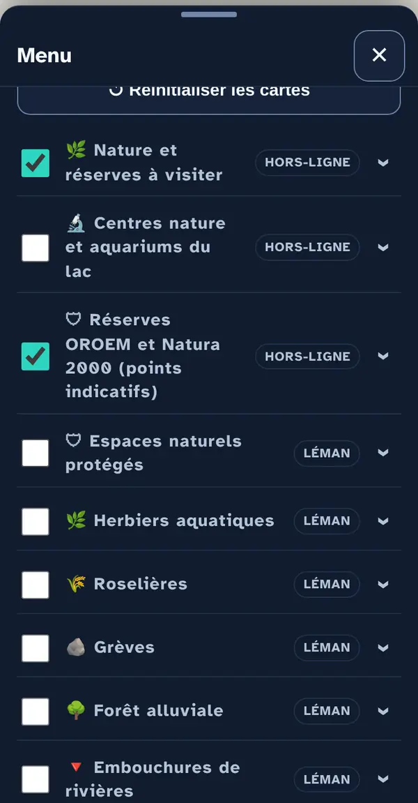
Reading the map
The menu's three offline layers: reserves to visit, the lake's nature centres and aquariums, and indicative points for the OROEM and Natura 2000 reserves. The official maps (aquatic plant beds, reed beds, gravel shores…) load online and are drawn as areas.
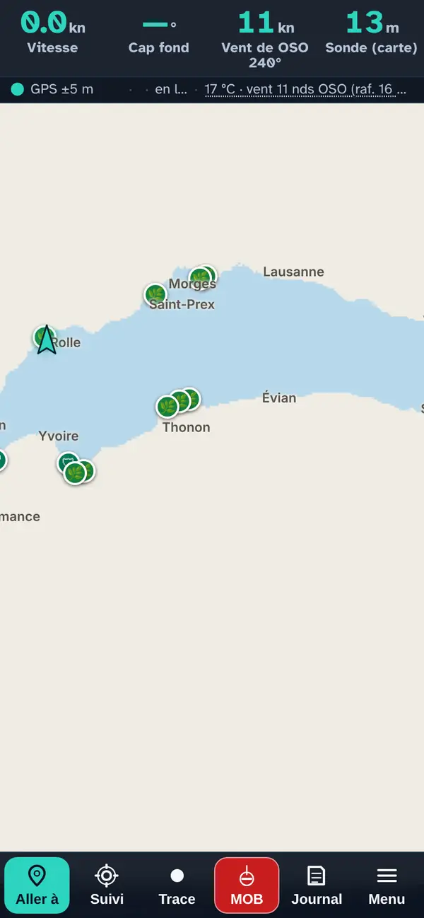
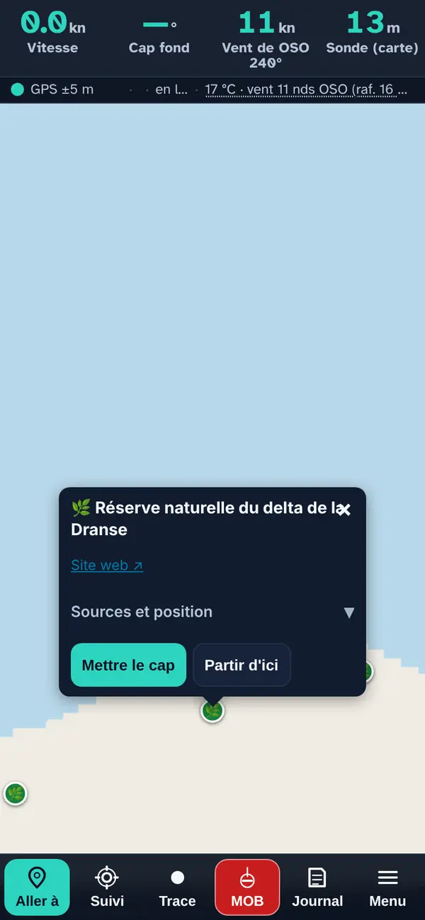
Tap a point: the pop-up
- The name, preceded by the layer's icon.
- Facilities — harbour name (expandable): when the place bears a harbour's name, that harbour's facilities confirmed by an official source (slipway, crane, pump-out, fuel) and the harbour master's office phone number.
- The practical note when known: access from the beach or the nearby harbour, season, booking.
- A row of links: the website ↗, the phone number (one tap calls) and “View on Google Maps ↗”.
- Sources and position (expandable): where the place comes from and how its position was obtained — official address, OpenStreetMap or read off the map.
- Set course makes it your destination in “Where to?”; Start from here, your starting point.
How the data is cross-checked
The habitats (aquatic plant beds, reed beds, gravel shores, floodplain forest, river mouths, watercourses) are the official maps from CIPEL and the SABLE compilation, read live. The reserves to visit come from the app's verified files; the OROEM and Natura 2000 points in this file are only indicative — the exact boundaries are those on the official maps.
What this menu tells you, and what it doesn't
What it tells you. Where the habitats recorded by CIPEL and the federal reserves are, and where to visit a nature centre.
What it doesn't tell you. The exact rules: a federal reserve (OROEM) applies even with no buoy on the water; elsewhere, the cantonal or prefectural regulations prevail.
Navleman is a navigation aid, not an official nautical document: the official chart, the storm warning lights and the authorities' instructions always take precedence.