“Discover” menu: beach bars, restaurants, stopovers, sights and beaches
User guide · updated 19.10.2026
Where to stop to eat, sleep, swim or visit, by boat or on foot from the lake.
What this menu is for
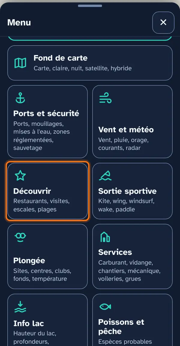
Stopovers and sights around the lake — beach bars, harbour restaurants, hotels, campsites, heritage, museums, parks, viewpoints, wine cellars, leisure — checked against an official source, anchorages and coves aligned with the measured bottom, and beaches at the top of the list.
How to use it
Open the menu
Tap Menu, bottom right, then the menu's tile. At the top: 📖 User guide for this menu (this page) and ↺ Reset maps, which switches everything off at once.
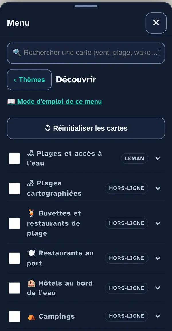
Turn on a map layer
Tick a map layer's box to lay it over the base map; untick it to remove it. The arrow at the right of the row opens its info note: what the layer shows, its colour key, its source and what it doesn't tell you. An OFFLINE label marks a layer built into the app, which works without signal.
Why checkboxes? So that only what's useful right now goes on the map: ten layers switched on together become unreadable.
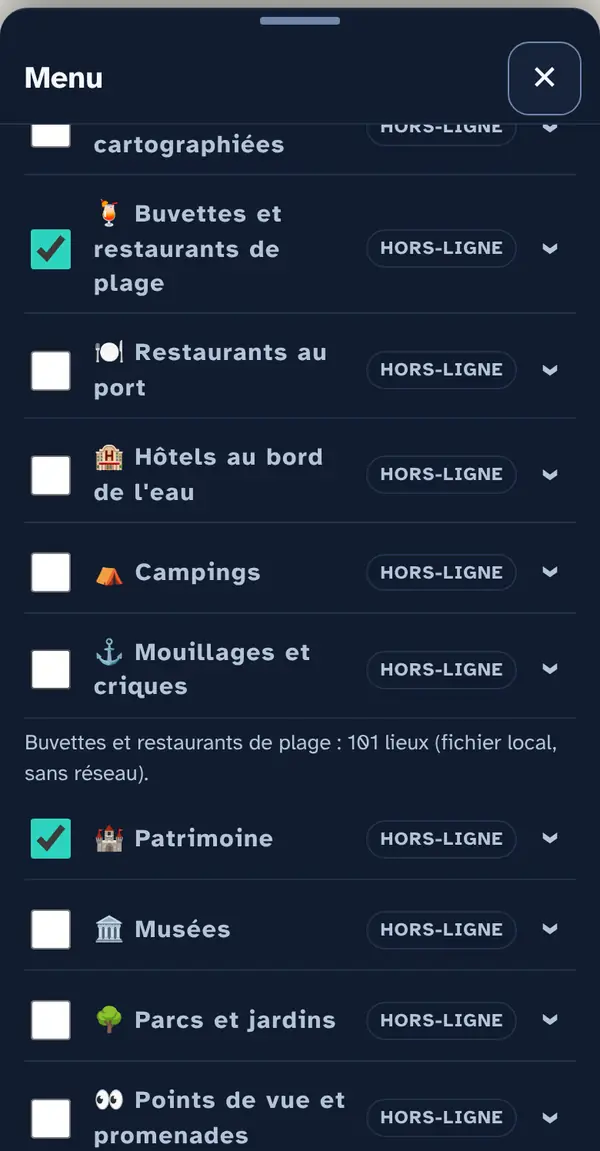
Reading the map
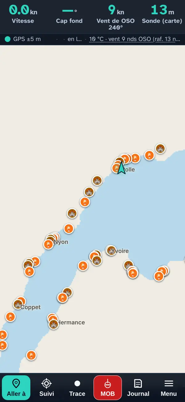
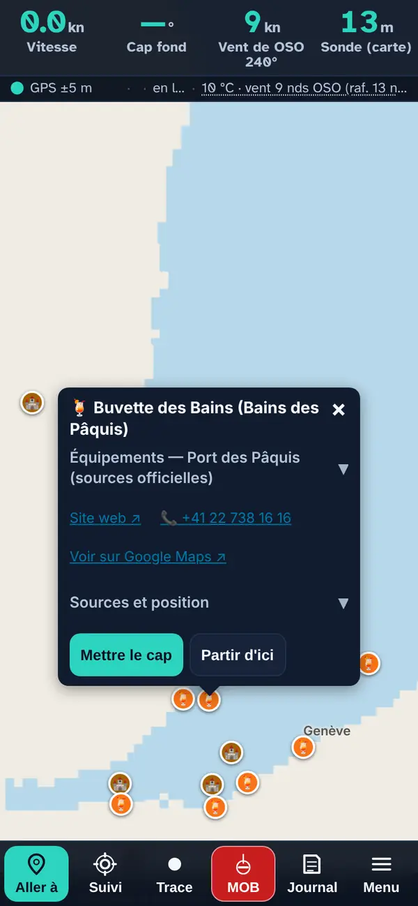
Beach bars (orange) and heritage between Geneva and Rolle: each map layer has its own colour.
Tap a point: the pop-up
- The name, preceded by the layer's icon.
- Facilities — harbour name (expandable): when the place bears a harbour's name, that harbour's facilities confirmed by an official source (slipway, crane, pump-out, fuel) and the harbour master's office phone number.
- The practical note when known: access from the beach or the nearby harbour, season, booking.
- A row of links: the website ↗, the phone number (one tap calls) and “View on Google Maps ↗”.
- Sources and position (expandable): where the place comes from and how its position was obtained — official address, OpenStreetMap or read off the map.
- Set course makes it your destination in “Where to?”; Start from here, your starting point.
For harbour restaurants, the note says how to come alongside when known; a beach bar is usually reached from the beach or the nearby harbour.
How the data is cross-checked
Each place was looked up municipality by municipality and confirmed on its own website, the municipality's or the tourist office's, then placed at its official address where there is one; nothing comes from Google Maps. Anchorages and coves are aligned with the depth grid: the pop-up gives the measured depth at that point. No quality judgement: no ratings, no reviews, no rankings.
Beaches: “Beaches and water access” is the official map, “Mapped beaches” comes from OpenStreetMap (ODbL licence); the two are kept separate.
What this menu tells you, and what it doesn't
What it tells you. Places checked one by one, with their source and distance from the water.
What it doesn't tell you. Nothing has been checked on site: opening hours, seasonal opening and access from the water need confirming.
Navleman is a navigation aid, not an official nautical document: the official chart, the storm warning lights and the authorities' instructions always take precedence.